

Mahim Fort stands at the mouth of Mahim Creek, at the southern end of Mahim Causeway in Mumbai. Its coastal position and long defensive history make it an interesting landmark to understand from the outside, but access restrictions mean you should check its current status before planning a visit.
- Setting: Mahim Creek, at the southern end of Mahim Causeway.
- Access: The fort was closed to the public after residents were relocated in 2022.
- Nearby context: Mahim Beach is another local attraction.
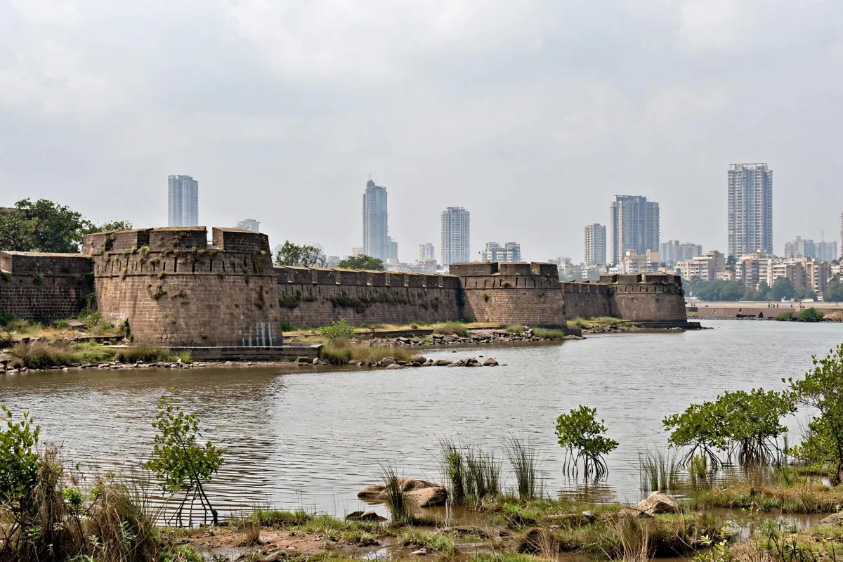
Mahim Fort and its coastal setting
Mahim Fort occupies a strategic waterfront position overlooking Mahim Creek and the wider bay. The Maharashtra State Gazetteer places the ruins at Mahim’s northern tip, looking across toward Bandra in Salsette. Mahim Beach is also identified as an attraction in the area.
The fort’s setting helps explain its defensive role: it stood by the creek and the causeway, in a location connected to the coast and the settlement of Mahim. Its history reaches back to the seventeenth century, when the area’s defences included small parapets and guard-houses.
How do you get from Dadar to Mahim Fort?
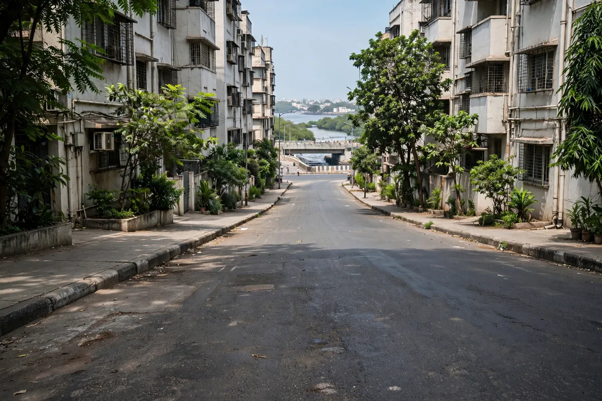
From Dadar, plan your journey to the southern end of Mahim Causeway, where the fort stands by Mahim Creek. Hotel Amigo is about a 26-minute walk or a 9-minute drive from the fort; these are travel times from the hotel, not directions from Dadar station.
Dadar and Mahim are both stations on Western Railway, so the public-transport network from Dadar is relevant when planning the rail leg of a Mumbai trip. Check the official site before you go, as access arrangements can change.
What remains at the site?
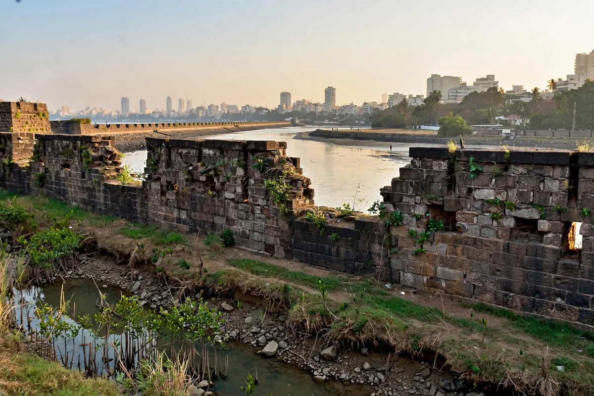
Rampart walls facing Mahim Creek are among the surviving remains described by the Maharashtra State Gazetteer. The fort is a ruin rather than an intact defensive complex, and its position on Mahim’s northern tip gives it a clear relationship to the creek and the opposite shore.
The Gazetteer records small defensive parapets and guard-houses at Mahim by 15 December 1673. Sir Thomas Grantham strengthened the fortifications in 1684, and Portuguese forces fired on Mahim Fort in 1772. Sion Fort offers a comparison with another of Mumbai’s historic forts, with its own history and visitor details.
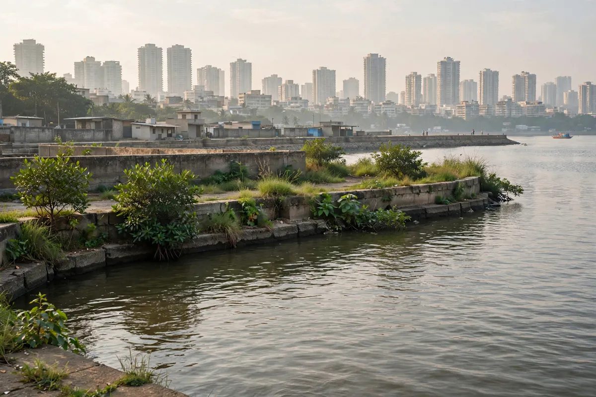
Tide, weather and safe access
Access is the main practical consideration: Mahim Fort was closed to the public after residents were relocated in 2022. Do not assume that the ruins or their entrance are open for a walk-through. Treat the shoreline and fort boundary as places to view from permitted public areas, rather than attempting to enter restricted or unstable sections.
The fort’s waterfront setting also makes conditions around the creek relevant to a visit. No tide schedule or safe crossing route is established here, so avoid relying on access across the shore and confirm any current public-access guidance before setting out.
Pairing the fort with a Mahim visit
Mahim Beach is a natural nearby point of interest to combine with a look at the fort’s coastal setting, subject to public access. Mahim lies along Mahim Bay, and the fort’s position at the creek mouth connects the two parts of the landscape.
Keep the plan flexible: the fort’s closure means an outside view may be the extent of a visit. If you are tracing Mumbai’s historic defences, Sion Fort is another site to consider, while Dadar’s Western Railway connections can help shape the wider route.
FAQs
Where is Mahim Fort?
Mahim Fort stands at the mouth of Mahim Creek, at the southern end of Mahim Causeway in Mumbai.
Can you enter Mahim Fort?
The fort was closed to the public after residents were relocated in 2022. Confirm current access arrangements before you go.
What remains of Mahim Fort?
Rampart walls facing Mahim Creek are among the surviving remains described in the Maharashtra State Gazetteer.
What is near Mahim Fort?
Mahim Beach is identified as an attraction in the area, and the fort overlooks Mahim Creek toward Bandra in Salsette.